SATCEN exploits (among other VHR satellite imagery) Sentinel satellites’ data (13M data products and 87 PB delivered with a rate of 26.500 products, i.e., ca. 150 TB/day) based on Corpernicus’ data delivery of 12TB/day. These need to be combined with geo-spatial knowledge graphs (e.g., LinkedGeoData 30B assertions) to explain image classifications and hence verify and necessary alter the results of image classification. Importantly, errors in classification can lead to significant financial losses downstream, e.g., not detecting a man-made change due to pixel misclassification.
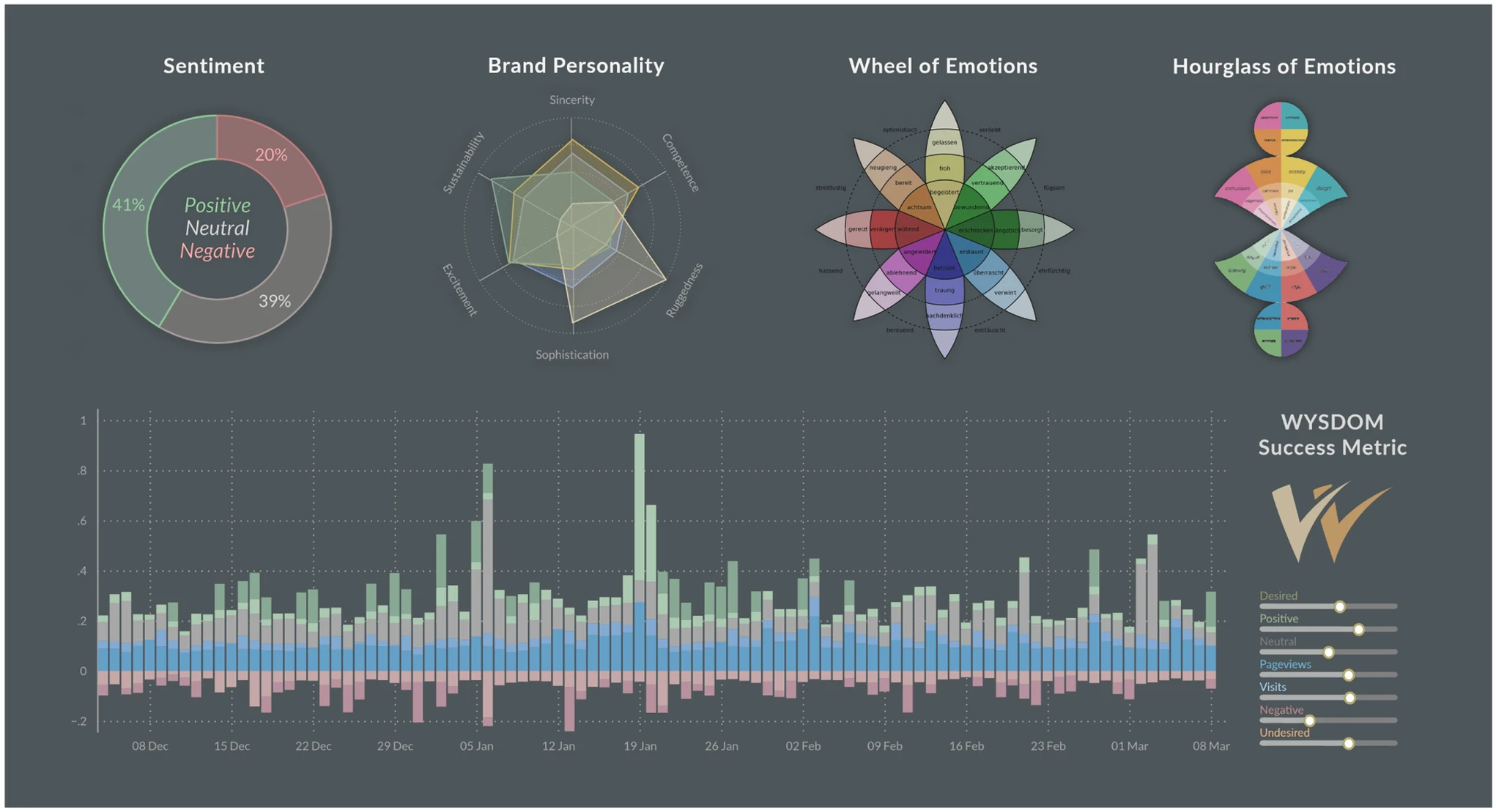
Brand communication
Improving brand communication through data driven techniques


